
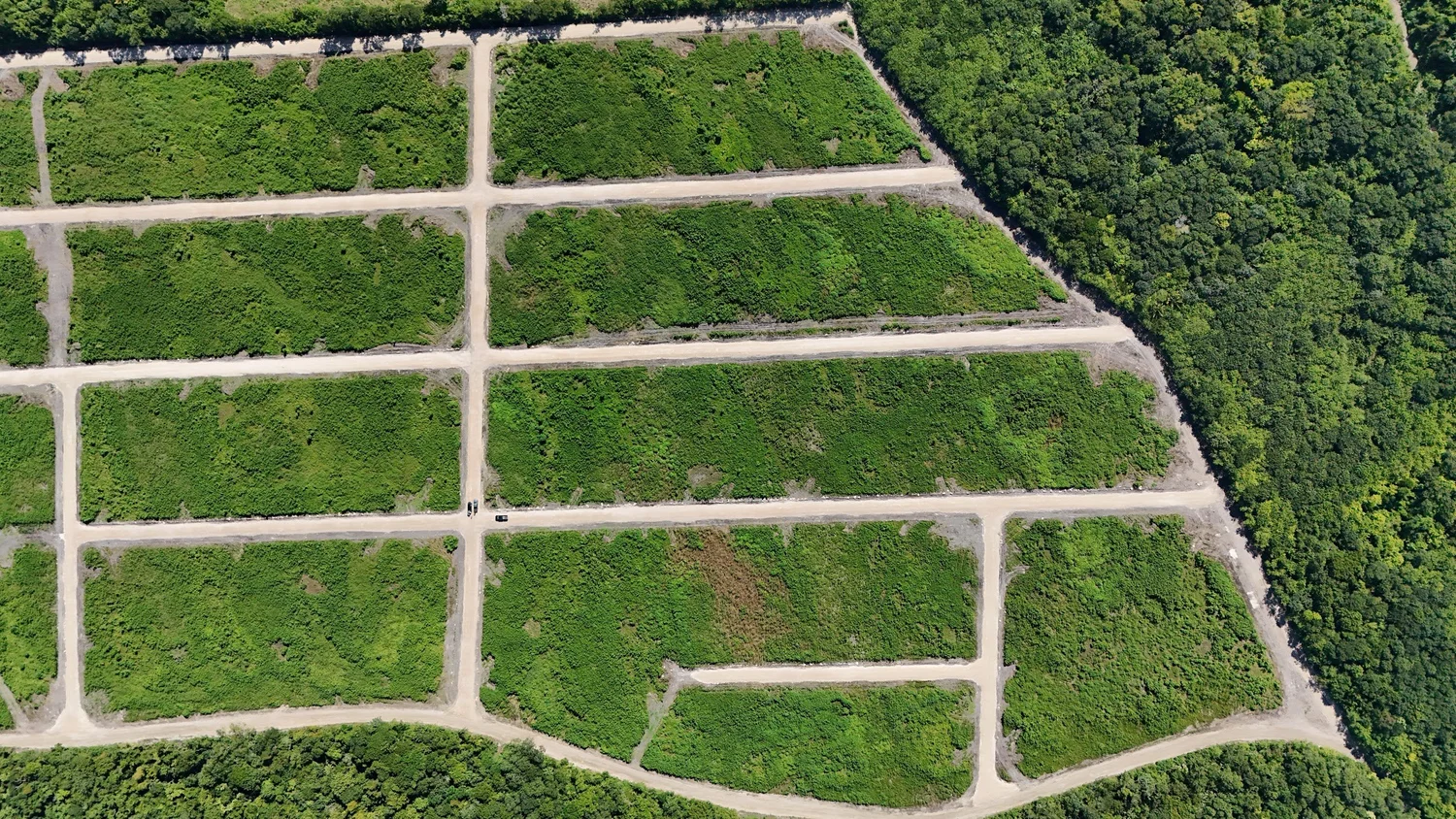
A Belize land survey is a measured plan of a parcel's boundaries, prepared by a licensed land surveyor and examined and authenticated by the Surveys and Mapping Section of the Lands and Surveys Department. Buyers should confirm that an approved plan exists, that it matches the title, and that the corner markers on the ground match the plan.
The survey is the link between the paper title and the land you can walk on. If it is missing, out of date or does not match, you can end up owning a different piece of ground from the one you thought you bought. Here is what a survey covers, how approval works, and what to check.
What does a land survey in Belize include?
A cadastral survey records the legal boundaries of a parcel. A finished survey plan typically shows:
- The shape of the parcel with bearings (directions) and distances for each boundary line.
- The area, often in acres, square feet or square meters.
- Boundary marks placed at the corners.
- Adjoining parcels, roads and reserves.
- A tie to the national control network, so the parcel can be located precisely.
- The surveyor's signature and seal, and the authentication from the government.
The Ministry of Natural Resources explains that its Surveys and Mapping Section oversees cadastral surveys nationwide, examines and authenticates plans for all legal surveys, and maintains the horizontal and vertical control networks. Surveyors work under the Land Surveyors Act, and survey standards are set by the Land Surveys Regulations of 1977.
Who can carry out a survey?
Legal surveys in Belize are carried out by land surveyors who are licensed to practise under the Land Surveyors Act. Ask any surveyor for their registration details, and ask your attorney to confirm them if you are unsure. A cheaper "measurement" by someone who is not licensed will not produce a plan the government will authenticate, and it will not help you at registration.
How is a survey approved?
The Ministry's Guidelines for Survey Submission (No. 1/2021) describe a process that is now largely digital:
- The surveyor submits a package online, including CAD drawings, traverse sheets, instrument and GNSS data, field note scans and supporting documents.
- Supporting documents depend on the land. For private land, proof of the client's ownership. For a subdivision, the Provisional Approval to Subdivide. For national land, the Permission to Survey.
- The Section reviews the package and sends feedback as a checklist. The surveyor corrects and resubmits as needed.
- Once accepted, the surveyor prints the plan, signs and seals it, and pays an authentication fee.
- The physical plan is submitted with original documents, which the Ministry says is "to counteract incidents of forgery," and the plan is then authenticated.
For you as a buyer, the key output is an authenticated plan that your attorney can match to the title.
Surveys and subdivisions
In a planned subdivision, the developer has the whole parcel surveyed and divided into lots before sales. Under the Land Utilization Act, a subdivision needs provisional approval from the Minister responsible for lands, and a summary of planning law by CDEMA notes that provisional approval requires a survey to be carried out within one year. The approved subdivision plan then shows each lot with its own number and dimensions.
That is one reason subdivision lots are often simpler to buy than raw land: the boundaries are already fixed on an approved plan. Ask the developer for a copy, and check that your lot number and dimensions match.
Coastal setbacks
The same CDEMA summary notes that subdivision reviews apply setbacks, including no development within 66 feet of the high water mark or a main water body. If you are looking at waterfront land, ask how setbacks affect the usable area.
What should buyers check?
| Check | Why it matters |
|---|---|
| An authenticated survey plan exists | Unapproved sketches do not define legal boundaries |
| The plan matches the title | Parcel numbers, area and owner should line up |
| Corner markers are present | Missing markers make it hard to confirm where you can build |
| Markers match the plan | A surveyor can re-establish corners if in doubt |
| Access is shown | The plan should show the lot fronts a road or right of way |
| No encroachments | Fences, sheds or driveways from neighbors can lead to disputes |
Your attorney checks the paperwork; a site visit or an independent surveyor checks the ground. Both matter. See our due diligence checklist for the rest of the review.
When do you need a new survey?
You may need a new or updated survey if:
- The parcel has never been surveyed, or the only plan is very old.
- You are buying part of a larger parcel, which requires a subdivision.
- Corner markers are missing or disputed.
- Two plans for the same land disagree.
- You are combining two adjoining lots into one.
Survey costs depend on size, terrain, access and how much research is needed. Get a written quote and agree in the purchase contract who pays. For lots in an approved subdivision, a new survey is often unnecessary, though some buyers hire a surveyor to re-mark corners before building.
Common survey problems and how they get resolved
Missing corner markers
Markers get knocked over by clearing equipment, buried by fill or simply removed. A licensed surveyor can re-establish them from the approved plan and the control network. Ask for this before you build, not after.
Plan and title do not agree
Sometimes the area on the title differs from the plan, or a parcel number has been transposed. Your attorney will usually ask the seller to correct the record before closing. Do not pay the balance until the documents line up.
Overlapping claims
Older surveys, especially on land that was divided informally, can overlap with neighbors. Resolving an overlap may require a fresh survey, agreement between owners, and sometimes a correction at the registry. These are reasons to walk away unless the seller fixes them first.
Encroachments
A neighbor's fence or driveway may sit a few feet over the line. Small issues can often be settled with a written agreement, but they should be dealt with before you buy.
Access that is not on the plan
A track you drove in on may cross private land with no registered right of way. Make sure the approved plan shows legal access, or that a registered easement exists.
Surveys and your future home
When you build, your architect or builder will site the house using the boundaries and the community's setback rules. Clear corner markers save time and avoid expensive mistakes such as pouring a foundation over a line. If you are planning a build, our design and build page and the post on building permits in Belize explain the next steps.
A quick conversion table helps when comparing plans:
- 1 acre = 43,560 square feet
- 1 square meter = about 10.76 square feet
- A 10,000 sq ft lot is about 929 m², or about 0.23 acres
Survey and title questions can be technical. Ask a licensed Belizean surveyor or attorney to review any parcel you plan to buy.
Hiring a surveyor yourself
If you want an independent check, ask the surveyor for a written scope: locating and confirming corner markers against the authenticated plan, noting any encroachments, and photographing each marker. Ask for a short written report. For a lot you plan to build on soon, this small step can give your builder accurate starting points.
Frequently asked questions
Does every lot in Belize have a survey?
No. Older or informally divided land may not. Lots in approved subdivisions should appear on an approved subdivision plan.
Can I rely on the seller's survey?
An authenticated plan is a government record, so it carries weight. Your attorney should still confirm it matches the title, and you should confirm the markers on site.
What are boundary markers made of?
They vary. What matters is that they are where the plan says they are. A licensed surveyor can locate or replace them.
Who pays for a survey?
It is negotiable. Agree on it in writing before closing.
Look at lot dimensions before you decide
Coastal Vista Phase 2 is a 47.11-acre parcel divided into 164 surveyed lots, ranging from roughly 6,400 to 17,500 square feet. Our lot map shows each lot's size and price, and our team can share plan details with you or your attorney on request.